
Village map of EuroParcs Texel
Up-to-date and comprehensive village map of EuroParcs Texel with all accommodations and facilities, also available as PDF.
Click on the image for a larger version.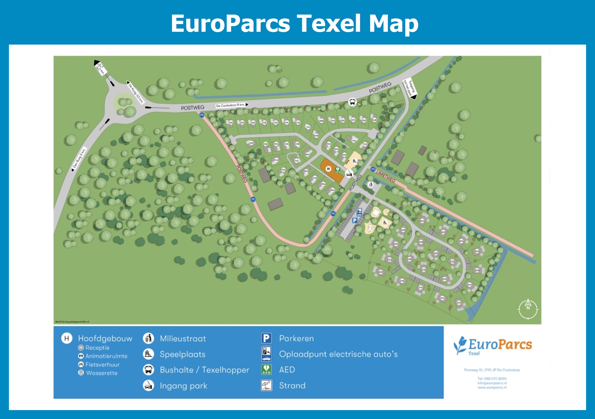
Map Texel
Village map of EuroParcs Texel, also available as PDF.
EuroParcs Texel
Explore the island by bike, you can easily rent them at the park
EuroParcs Texel is centrally located on the lovely Wadden Island of Texel and close to its famous sandy beaches. You get there by taking the TESO ferry from Den Helder. Texel has 40 nature reserves of which the Slufter is the best known. The area has an open connection to the North Sea and most of it is a bird nesting and bird resting area. Another bird area is the Waalenburg polder. Texel is a hiking and biking island par excellence. There are not only walking and cycling routes mapped out across the island, but also mountain bike routes. Explore the polders and dunes, the vast moors and forests. Ships depart from Oudeschild for a trip across the Wadden Sea. Sail along to watch seals, board a shrimp boat or take a trip aboard an authentic sailing ship.